About the Project
Client: Philip Plotch | Director of MPA Program, Saint Peter’s University
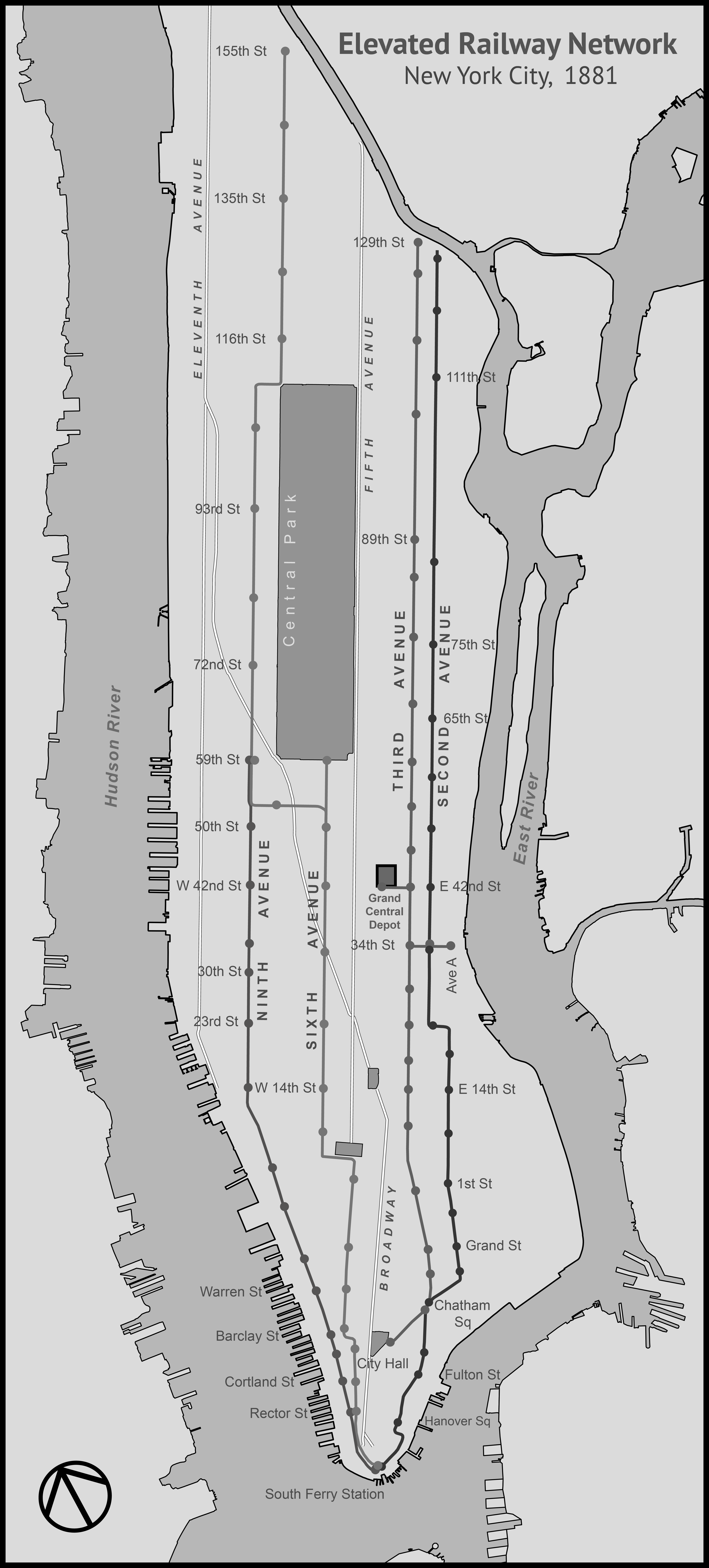
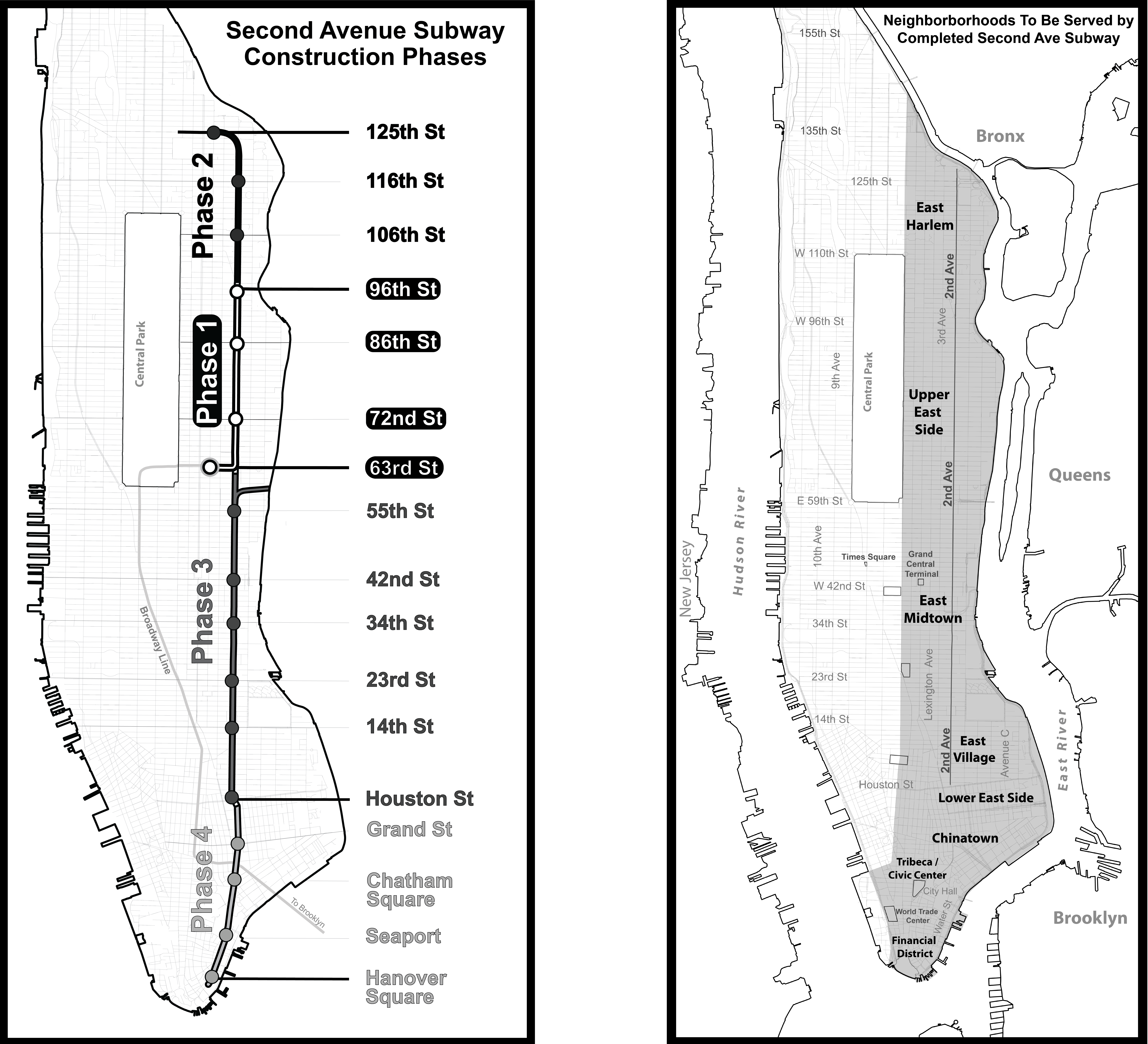
I designed 10 custom maps for Philip Plotch's Last Subway: The Long Wait for the Next Train in New York City, published and available at Cornell University Press. Each map highlights specific aspects of the project. This map shows the elevated railway network existing in 1881.
Process
The maps were made using open data created by New York City, and custom data digitized using historical maps and maps found in transit planning documents. Data is reviewed and modified in QGIS. Next, they’re exported to SVG format using the “svgis” command line tool. I then use Adobe Illustrator to style the data to create clear, aesthetically-pleasing maps that adhere to the needs and limitations of the publisher and printer, and to convey the author’s narrative.
Challenges
Creating high-quality maps involves many technical and design decisions. This project was challenging in two noteworthy ways: Producing vector drawings from the geodata, and preserving integrity regardless of how they are printed. The first challenge was that QGIS insufficiently converts geodata to vector drawings. After consulting with other map makers, I used “svgis” on the command line to quickly and perfectly convert the data. Secondly, the publisher has been advising me on how to prepare maps that print well under a variety of printing methods.

