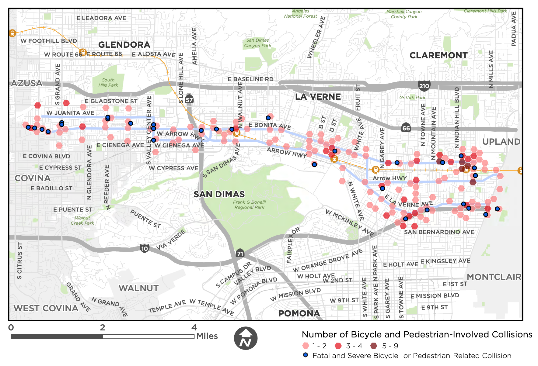
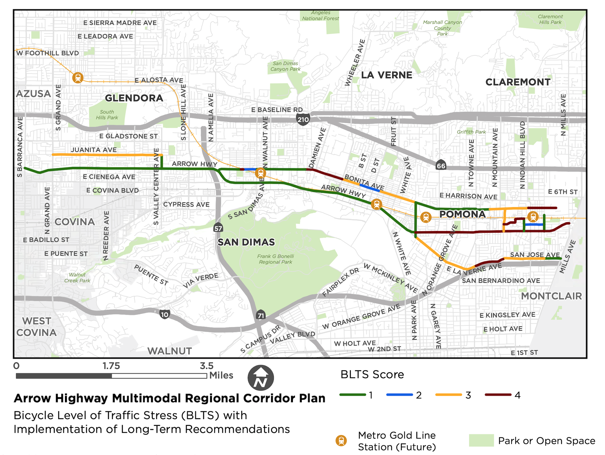
The Arrow Highway Multimodal Regional Corridor Plan builds on previous and ongoing planning efforts, ties together extensive collaboration involving multiple agencies, cities, and their residents, and sets a clear path forward to improve active transportation and transit access in the San Gabriel Valley. The final plan can be viewed here.
As a civic data analyst and planner, I developed a highly detailed cross-sectional dataset of roadway characteristics for the study corridors. This data was used to identify safety, comfort, and access issues along the corridors, and to guide the development of plan recommendations.
I used the Python programming language to create automated, well-documented, and easily adjustable scripts to model the impacts of recommended projects, and to score and prioritize recommended projects based on a framework developed in collaboration with the public and planning agencies across all of the corridor cities.
I created dozens of graphics and maps used in the final plan (including the two maps presented on this page), and collaborated with our team's engineers to develop cost estimates for each of the plan's recommended projects.

